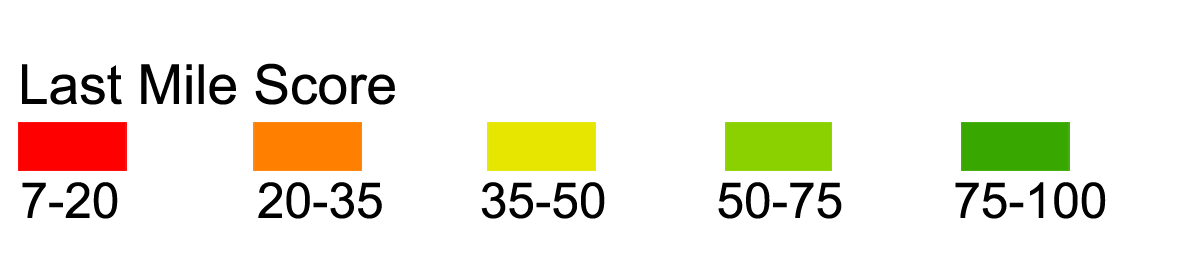
Legend
Select a city to check last mile problem map
LM model have covered all cities in USA. Choose the places you care about last mile problem in the following boxes to see the map.
LM model have covered all cities in USA. Choose the places you care about last mile problem in the following boxes to see the map.
Users can report the new developments or new last mile problems to reflect development decisions and scenarios.
LM now allow users from the world to have free access to the last mile problem maps.
Help planners or real estate developers to efficiently deal with transportation data and find problems.